
Hiking routes in Fuerteventura
20/10/2021
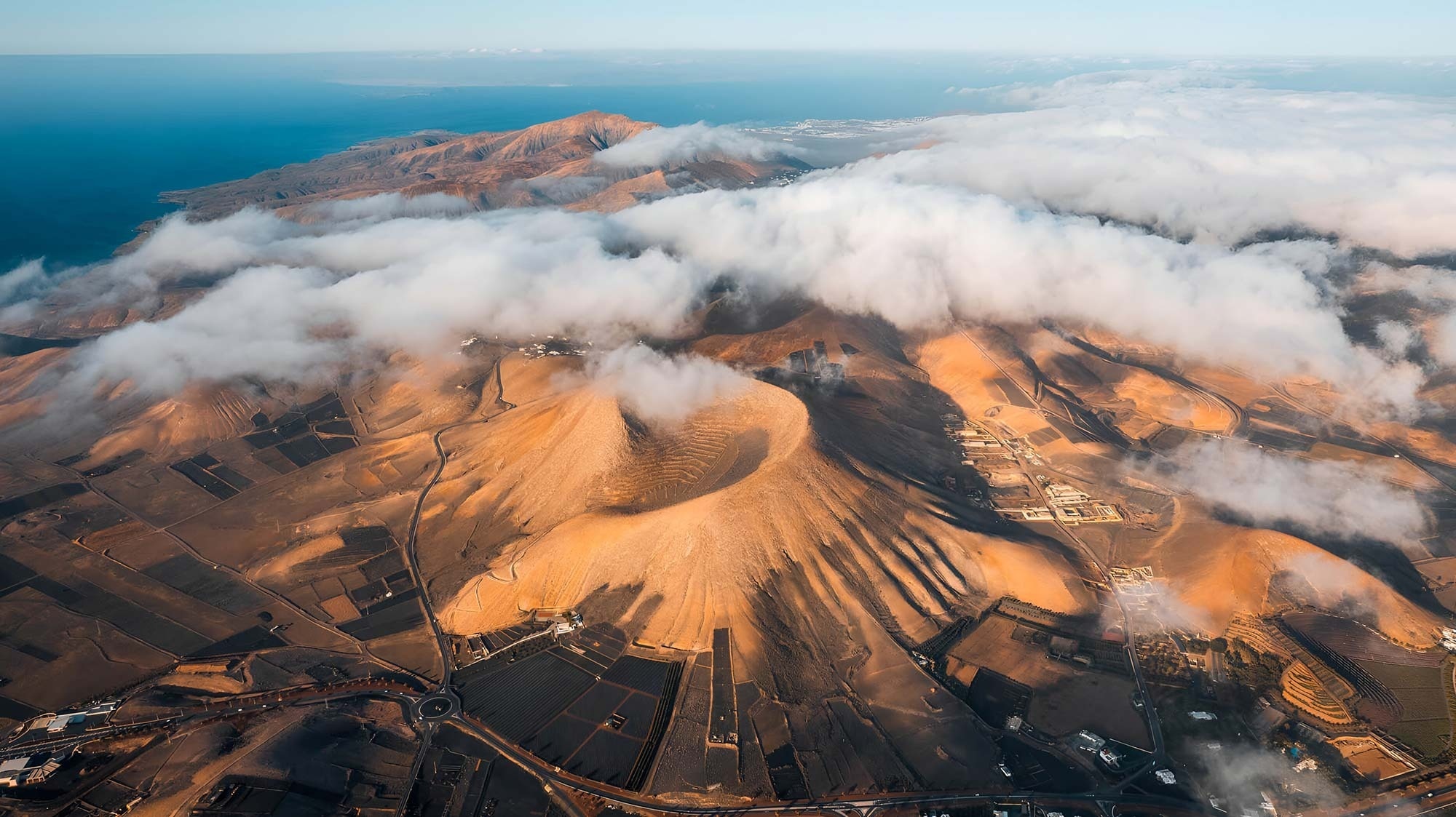
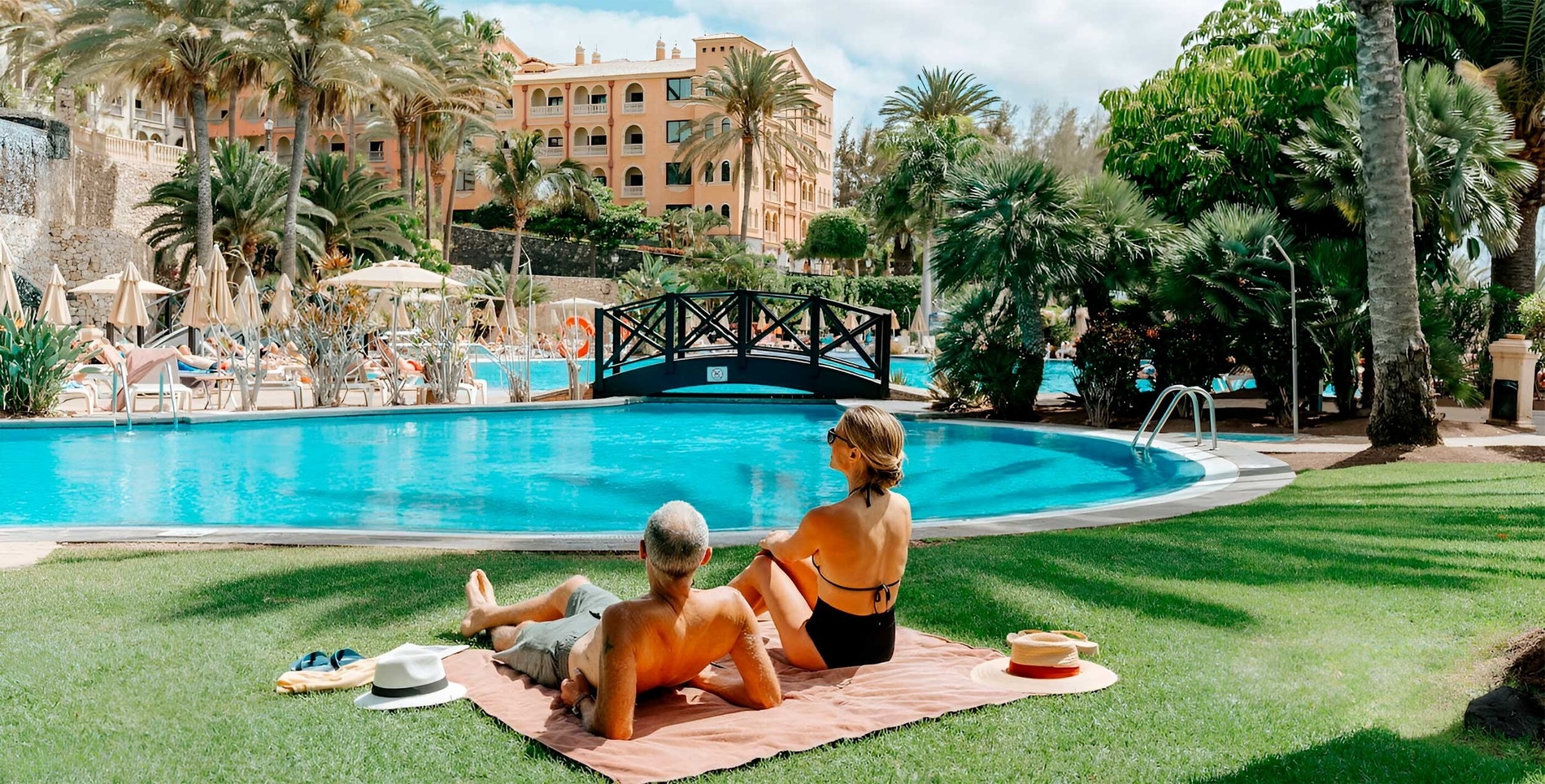
The island of Fuerteventura, despite being known for its paradisiacal beaches, is also a favorite for hiking and other sports enthusiasts. Caves, coastal deserts, volcanoes, and ravines await you on the island of Fuerteventura.
Below we'll show you some of Fuerteventura's most beautiful trails. All of them are easy to follow, even with the family:
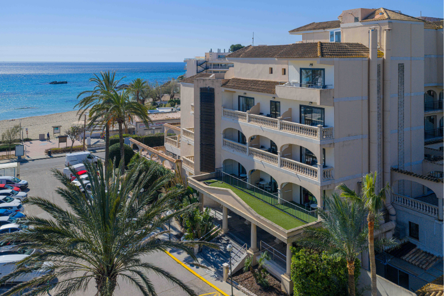
30 minutes by car from R2 Río Calma.
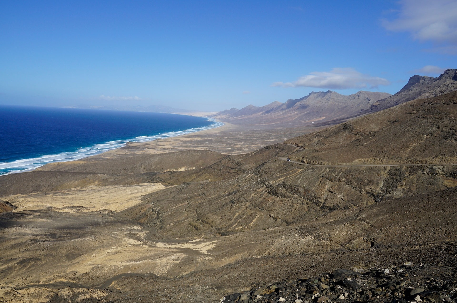
First, one of Fuerteventura's key attractions that you shouldn't miss: Jandía Natural Park, in the south. There, you'll find a route that will take you to the highest point on the island, Pico de la Zarza. About 7 km long and lasting approximately three hours, you'll be amazed by the panoramic views of Cofete and Barlovento beaches.
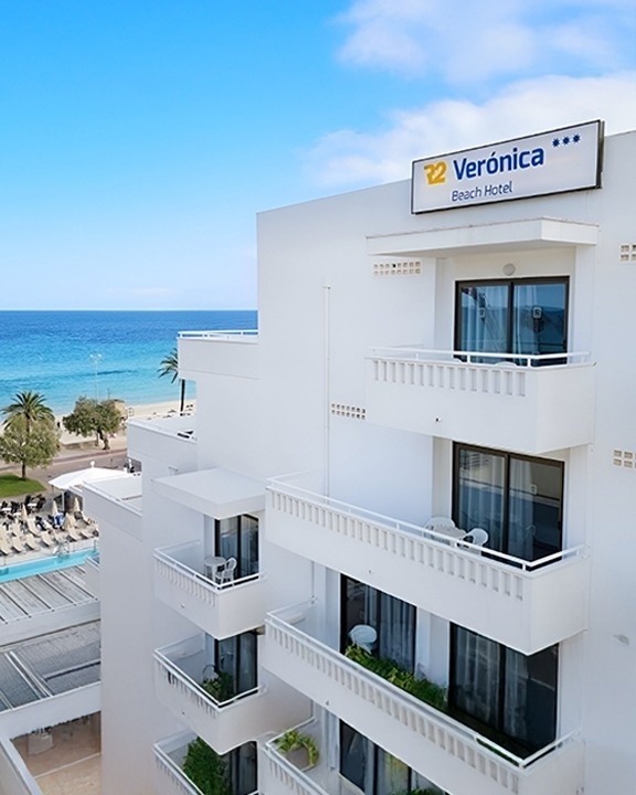
35-minute drive from R2 Bahía Playa Design Hotel & Spa.
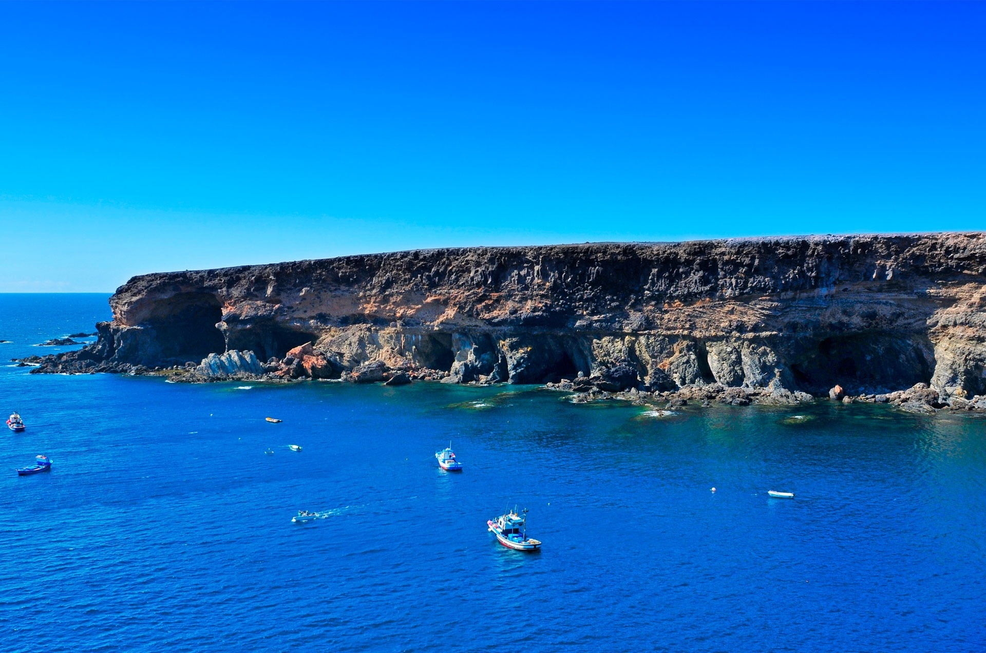
A few kilometers north of the island, on the west side, we find the Ajuy Caves. This is a much easier trail, about a 15-minute walk along the coast. These caves have been declared a Natural Monument, as the rocks that form them are among the oldest in the Canary Islands.
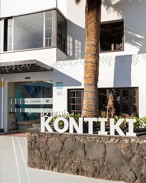
1h 15mins by car from R2 Romantic Fantasia Suites.
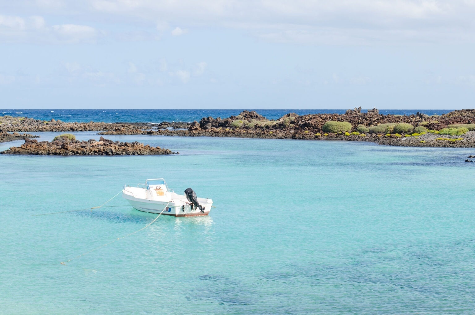
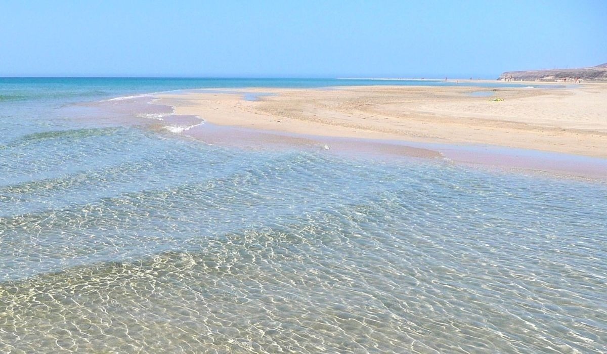
Finally, we mustn't forget the islet of Lobos. Off the coast of Corralejo, northeast of Fuerteventura, lies this idyllic deserted islet. There's a very easy trail, about 12 km long, that you can complete on foot in a total of 3-4 hours, ending with a swim in Puertito de Lobos.
The Islet is located just 2 kilometers from Corralejo, a mere 15-minute boat ride. Access to Lobos is by boat or water taxi, both of which can be booked in advance at the Corralejo port.
We invite you to explore the most beautiful corners of Fuerteventura and be amazed not only by its beaches but also by its many points of interest.
>
>