
Cycling Routes in Fuerteventura
23/06/2021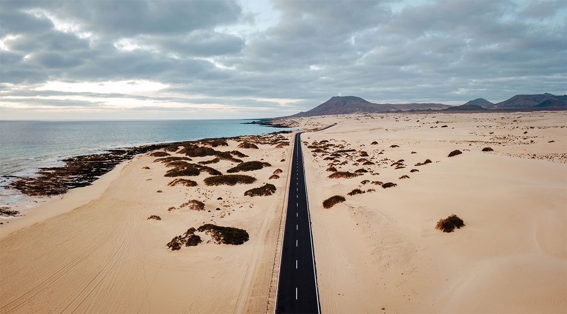
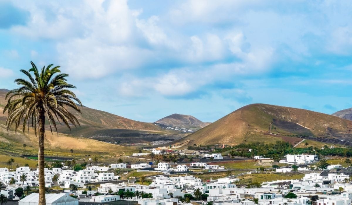
If you love cycling routes and are going on holiday to Fuerteventura, this article is for you!
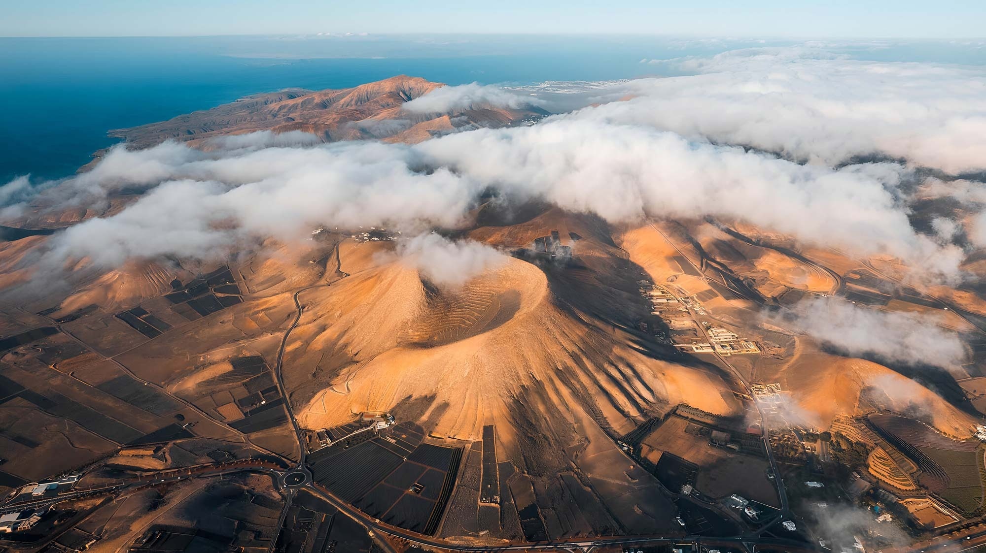
Fuerteventura has many cycling routes for cycling enthusiasts, and currently the cycling routes of Fuerteventura cover more than 225 km and are part of a project that aims to connect the island from north to south.
There are eleven routes available in total, and here we show you the first 3:
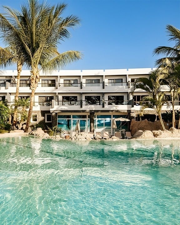
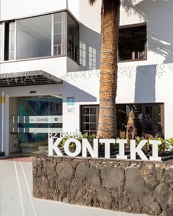
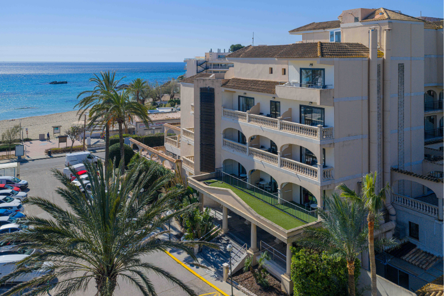
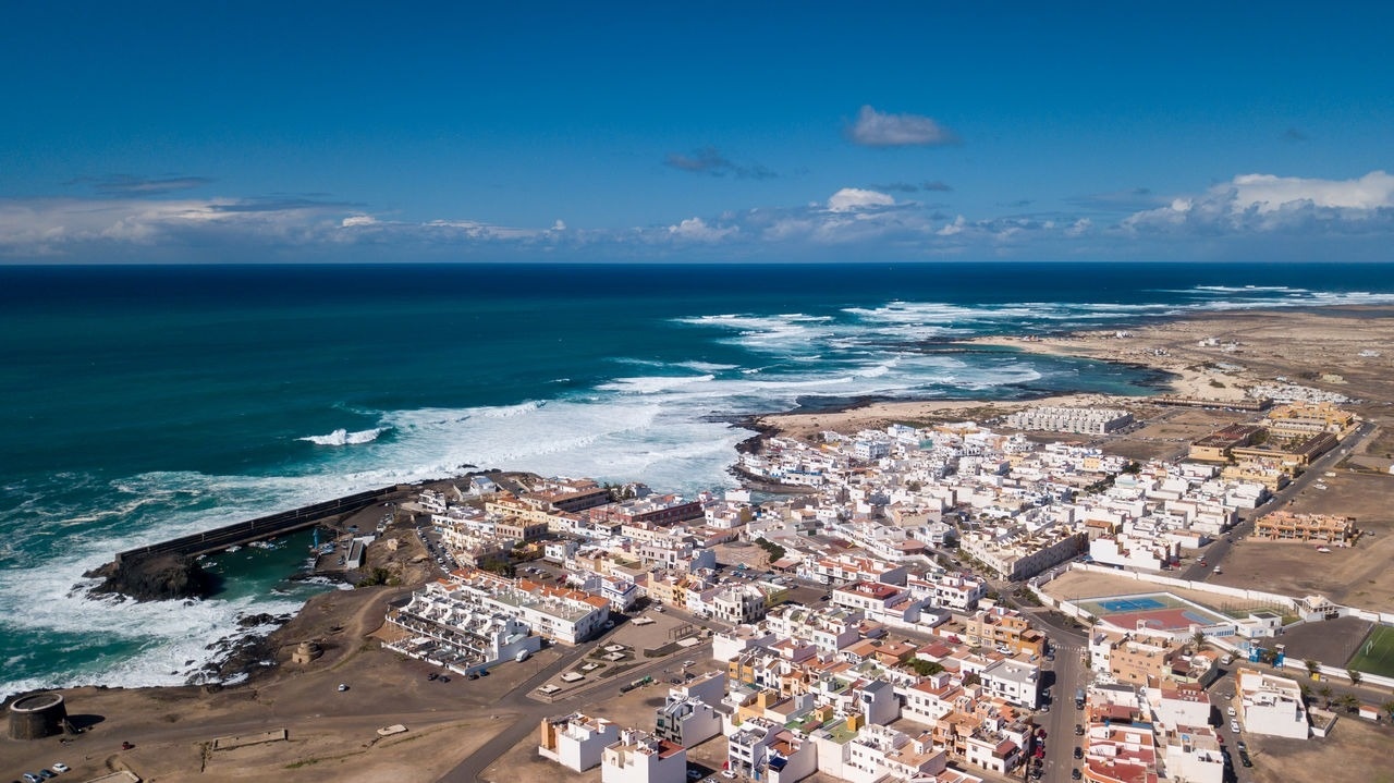
A 40-minute drive from R2 Kontiki Bay
| Duration | Route | Difficulty | Details |
|---|---|---|---|
| 1h - 1h 30m | 8.1km | easy | Connects Route 2 and 3 |

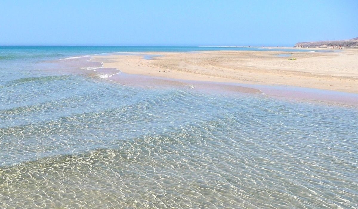
This route is perfect if you want to explore the Charco de Bristol, a place of great scenic and floral value, which is where the trail connecting Corralejo and Majanicho begins. Continuing along the path, you'll reach Playa del Bajo de la Burra, a popular spot for fishermen and surfers, where a small hut stands out, surrounded by light sand that blends with the dark rocks. You'll pass a stone wall across the path, after which you'll arrive at Caleta del Bajo Mejillón, where plant species adapted to saline environments thrive on the rocky shore.
If you look to your left, you'll see three mountains, which from left to right are called Montaña de la Mancha, Montaña de la Raya, and Montaña Lomo Blanco. A kilometer further on, you'll find Caleta del Barco, a place steeped in the stories and legends of Fuerteventura, a small sandy beach where a solitary house stands out. After a short climb, and leaving Llano del Dinero to your left, continue for 2 kilometers until you reach the small fishing village of Majanicho, where this route ends.
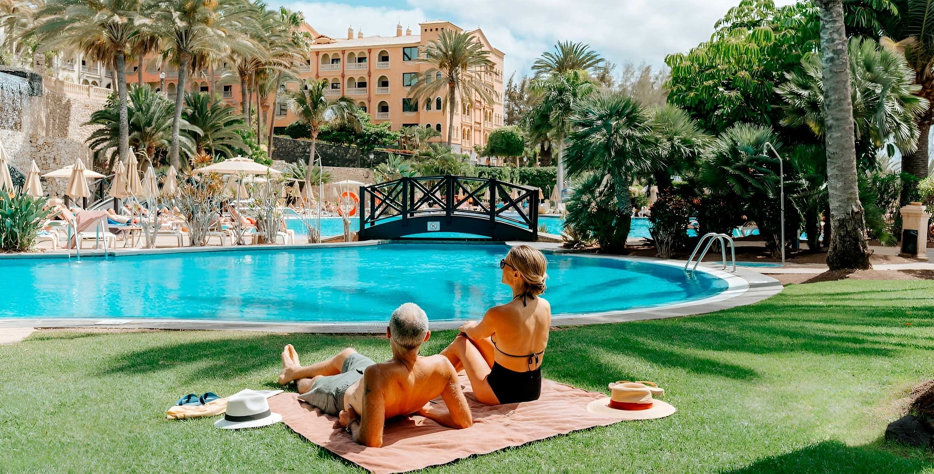
1 hour and 15 minutes from R2 Romantic Fantasia Suites
| Duration | Route | Difficulty | Details |
|---|---|---|---|
| 30 min | 6.7km | easy | Connect Route 12 |
Route 2 starts from Majanicho, a small fishing village located on the north coast of Fuerteventura. It heads south until it reaches an asphalt road and continues along it without deviating until it arrives at the area known as El Roque, formed by the Calderón Hondo and Montaña Colorada volcanoes.
Once you've covered the 5.5 kilometers separating you from Majanicho, you'll reach the vicinity of Montaña Colorada. After a slight bend, you'll enter the village of Lajares, and 1.3 kilometers later you'll arrive at the Municipal Football Field, where this route ends.
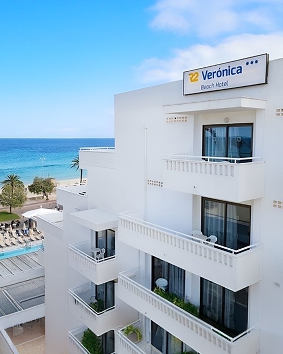
1 hour and 15 minutes from R2 Pájara Beach
| Duration | Route | Difficulty | Details |
|---|---|---|---|
| 1 hour 30 minutes | 13.8km | easy | Connects Route 1 and 2 |
The route begins in Majanicho, a small fishing village. Heading west, just a few meters from the village, you'll discover one of the several salt flats along the way. Continue towards Caleta del Hierro and follow the coast to Punta de la Seba. Proceed along the coast for approximately 7 kilometers, passing a series of interconnected beaches; some of them form natural lagoons perfect for swimming. Once you reach the last beach, you'll see another small salt flat and come to a crossroads.
Upon reaching the lighthouse, turn left and follow that path until you reach an asphalt road. Continue along this road for approximately one kilometer until you reach a roundabout. Straight ahead, about 750 meters further on, you will reach another crossroads. The left-hand road leads to the fishing village of El Cotillo. Continue south until you reach another crossroads. Turn left onto Calle El Faro, which will take you to the El Cotillo Municipal Stadium, where this route ends.
Clearly, there's no better way to explore the island while enjoying outdoor sports, so we recommend that on your next trip you try one of these routes and discover all the special corners of Fuerteventura.